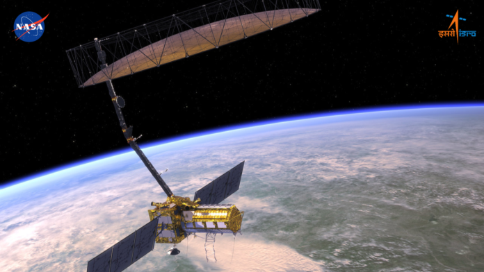
The Indian Space Research Organisation (ISRO) and the National Aeronautics and Space Administration (NASA) are set to launch the jointly developed Earth observation satellite, NISAR, on July 30 at 5:40 PM. The launch will take place from the Satish Dhawan Space Centre in Sriharikota.
The satellite will be deployed into a 743-km Sun-synchronous orbit with an inclination of 98.4 degrees, using India’s GSLV-F16 rocket.
This mission marks a major milestone in Earth observation, as NISAR becomes the first satellite jointly developed by ISRO and NASA.
What is NISAR?
NISAR is a Low Earth Orbit (LEO) observatory designed to monitor Earth’s surface in unprecedented detail. The satellite will scan the entire globe every 12 days, capturing high-resolution data to help scientists study changes in the planet’s ecosystems, ice mass, vegetation, groundwater, sea levels, and natural disasters like earthquakes, landslides, tsunamis, and volcanic activity.
According to ISRO, NISAR features an advanced dual-band Synthetic Aperture Radar (SAR) operating in L- and S-bands, capable of collecting fully polarimetric and interferometric data. This will enable scientists to track and analyze complex environmental changes from a single platform.
The mission will support research on woody biomass changes, crop monitoring, wetland mapping, and the movement of polar ice in regions like Greenland and Antarctica.
Following the launch, the satellite will enter a 90-day commissioning phase, known as In-Orbit Checkout (IOC), to prepare for its full scientific operations.


